Specialty & Urban Maps
Urban transit maps, weather reports, and modern design maps for travelers and map enthusiasts.
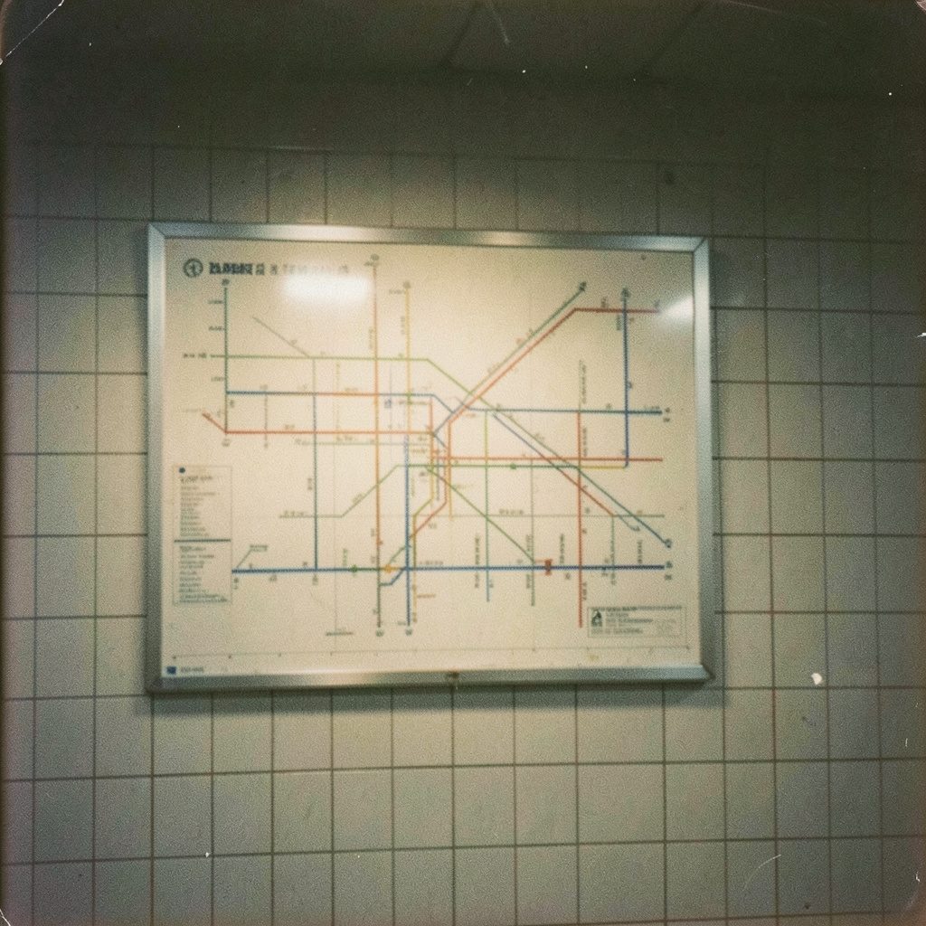
Transit, Weather & Modern Design
This collection brings together detailed urban transit maps, weather report visuals, and contemporary world map designs. From the NYC Subway Map with street overlay to modern canvas and mural options, these resources help with trip planning and interior inspiration.
For travelers and map enthusiasts alike, specialty maps offer a window into the world that goes beyond simple geography. Urban transit maps, for instance, transform complex rail and bus networks into clean, readable diagrams that make navigating a foreign city feel manageable. These maps are not just practical tools but also works of graphic design, with their distinctive color-coded lines and minimalist layouts. Many travelers collect transit maps from the cities they visit as souvenirs, each one a visual memory of a journey. Whether displayed on a wall or tucked into a travel journal, these maps capture the rhythm and energy of urban life in a way that a standard road map cannot.
Weather maps represent another fascinating category of specialty cartography, blending real-time data with visual storytelling. These maps show everything from temperature patterns and precipitation zones to radar imagery of approaching storms. For the curious traveler, checking a weather map before a trip can reveal the best times to visit a destination or help pack appropriately for changing conditions. The visual language of weather maps—with its sweeping fronts, pressure systems, and color gradients—tells the story of our atmosphere in motion. Beyond their practical use, these maps have a raw, dynamic beauty that appeals to those who appreciate the intersection of science and art.
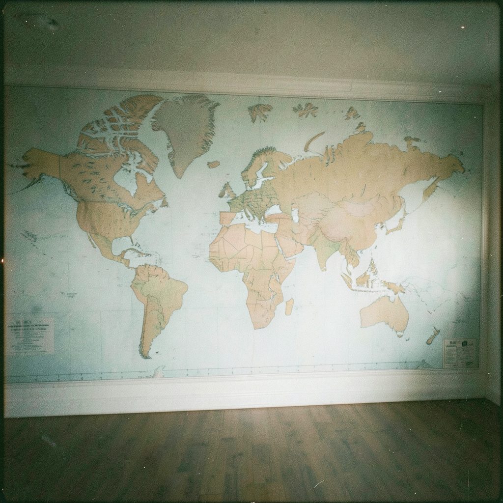
Modern world map designs have evolved far beyond the traditional classroom wall map. Today's cartographic creations feature artistic interpretations with muted color palettes, minimalist outlines, and creative projections that challenge how we see the planet. These maps serve dual purposes: they are reference tools for planning future travels and decorative pieces that bring a sense of worldly sophistication to a home or office. Many contemporary designs strip away unnecessary detail, leaving only the essential shapes of continents and countries. The result is a clean, elegant aesthetic that complements modern interior design while still satisfying the wanderlust of anyone who dreams of crossing borders and exploring new horizons.
For those who love to personalize their space, customized maps offer a unique way to commemorate travel experiences. From wall murals that transform an entire room into a cartographic escape to removable decals that mark visited destinations, the options are as varied as the travelers themselves. Canvas prints of favorite cities, vintage-style maps of ancestral homelands, or detailed topographical charts of beloved hiking trails all make meaningful additions to a home. These personalized pieces do more than decorate—they tell a story. Each map becomes a conversation starter, a daily reminder of adventures past, and an inspiration for journeys yet to come, all while adding a touch of worldly elegance to any room.
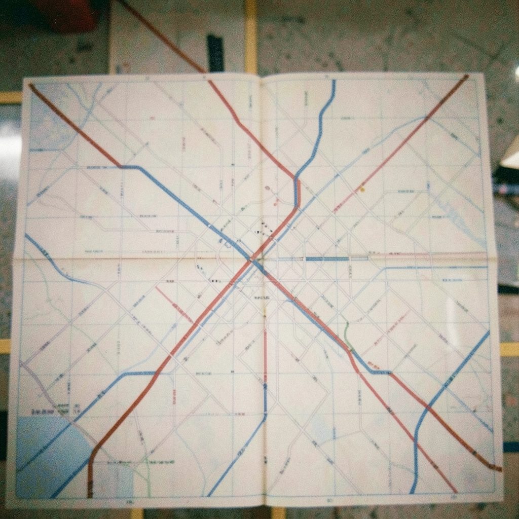
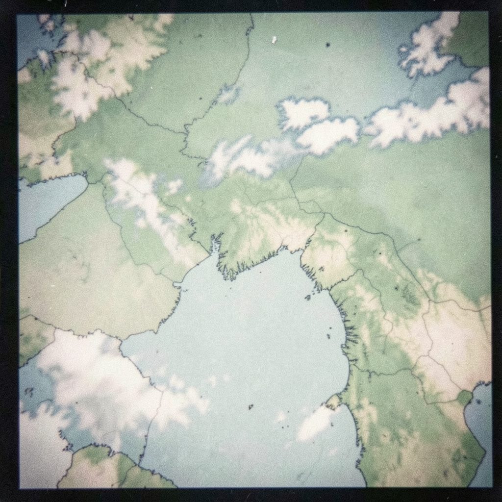

Cloud Maps Weather
Visual cloud-cover maps useful for understanding weather patterns across different regions.
Sydney Weather Map
Weather mapping focused on the Sydney region, offering a closer look at local conditions.
World Map Typography
Artistic world maps built from typography, blending geography with graphic design.
Fillable World Map
Interactive-style world maps designed for marking destinations and tracking travels.